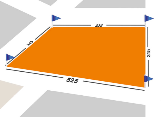
Locating (Application)
The application can view the zoning plans, building projects, road projects, landscaping plans for garden architecture, etc. made in the project. It is called the work of applying the projects to the ground. It is the indication of the parcel corner points on the cadastral sheets on the ground again and the boundaries of the parcel on the ground are shown.